See also the main D.C. lost streams project page, with maps and background.
An article for GGWash
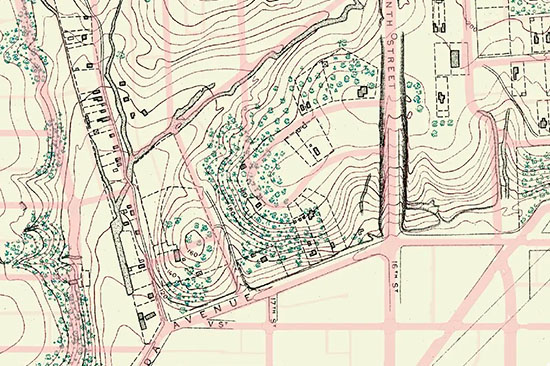
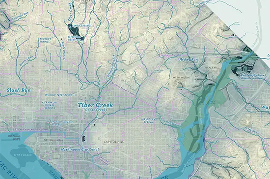
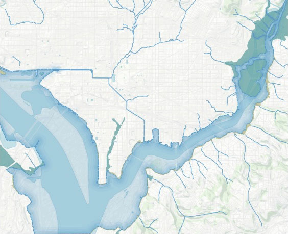
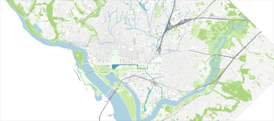
A map of D.C.’s lost streams — 2024 edition
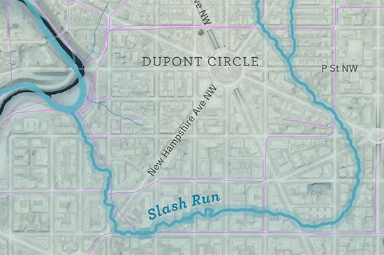
A little D.C. stream
A new lost streams map
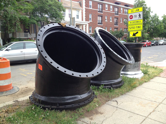
Combined sewer overflow
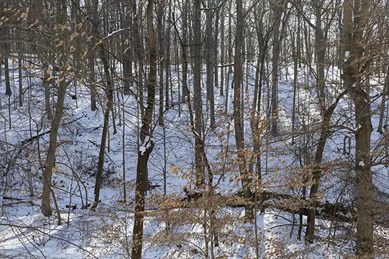
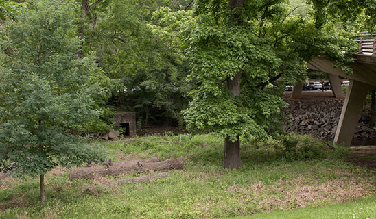
Along the Northwest Branch of the Anacostia
Uncovering long-lost historic hydrologic features.
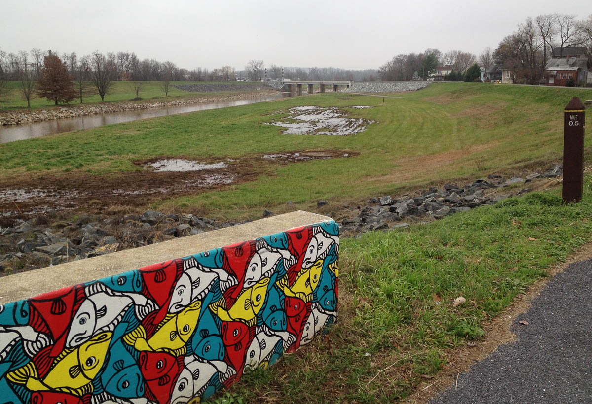
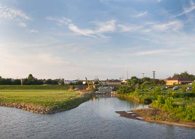
Floodgates, levees, and marshes
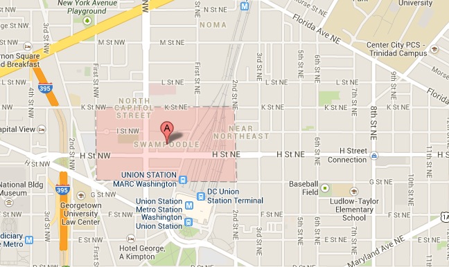
Chalk one up for historic neighborhood names
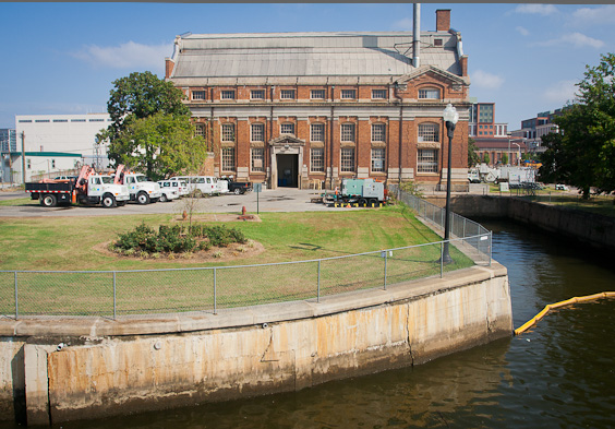
Pictures from the SE/SW waterfront area
Preview of the Hidden Rivers and Lost Neighborhoods bike tour.
Maps of DC's long-lost rivers.