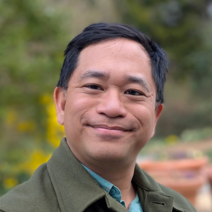
About

I’m a designer, cartographer, and design educator, based in Washington, D.C. I create projects—maps, images, interactive systems, and in-person events—that help us imagine places, past and future. My research looks at landscape change around the Chesapeake Bay region, and especially at the history of the District’s streams and shorelines.
I hold an MFA in Graphic Design from the Rhode Island School of Design, and a BA in English from Williams College, and I am currently working toward a Masters in Landscape Architecture at the University of Maryland.
I taught graphic design and data visualization at the Corcoran College of Art + Design and at American University, and I helped run Knowledge Commons DC.
Need a map? Want to tell a story in print or on the web? Let’s work together. Give me an email!
Get in touch
- Email: hello@imaginaryterrain.com
- Signal: email or DM for my number
- GPG public key (text/asc) and fingerprint:
2AD3 4E21 3CA4 F6B4 7FE1 241E F284 A593 4532 8EE7 - My newsletter is the best way to know when I’m offering a class or tour.
Social media
- Bluesky: @imagineterrain.bsky.social (I’m here most often)
- Twitter: @imagineterrain (inactive)
- Instagram: @imagineterrain
Selected awards
- National award · ACEC Engineering Excellence Awards – Honor Award for “Uncovering the History of the District’s Buried Streams.” On project team with Straughan Environmental. (2022)
- Regional award · ACEC/MW Engineering Excellence Awards – Grand Award “Uncovering the History of the District’s Buried Streams.” On project team with Straughan Environmental. (2021)
Colophon
This site is generated using Jekyll, mostly from Markdown files. Type is set in Minion Pro and Myriad Pro.