Maps and photos for GGWash
Lanier Heights and Mt. Pleasant, D.C.
An article for GGWash
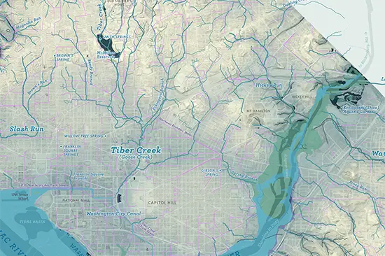
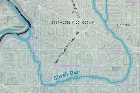
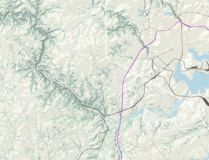
A map of D.C.’s lost streams — 2024 edition
A new lost streams map
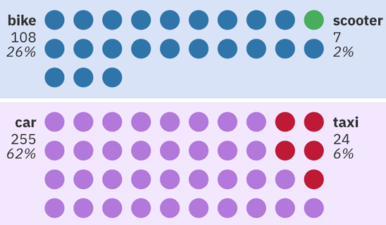
A modeshare snapshot
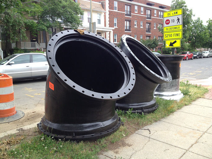
Combined sewer overflow
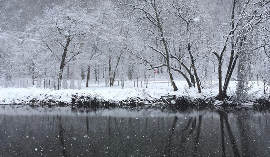
An early-spring snowstorm
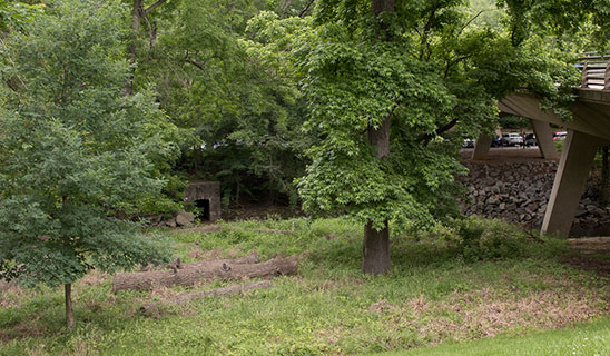
Former printing plant off the Met Branch
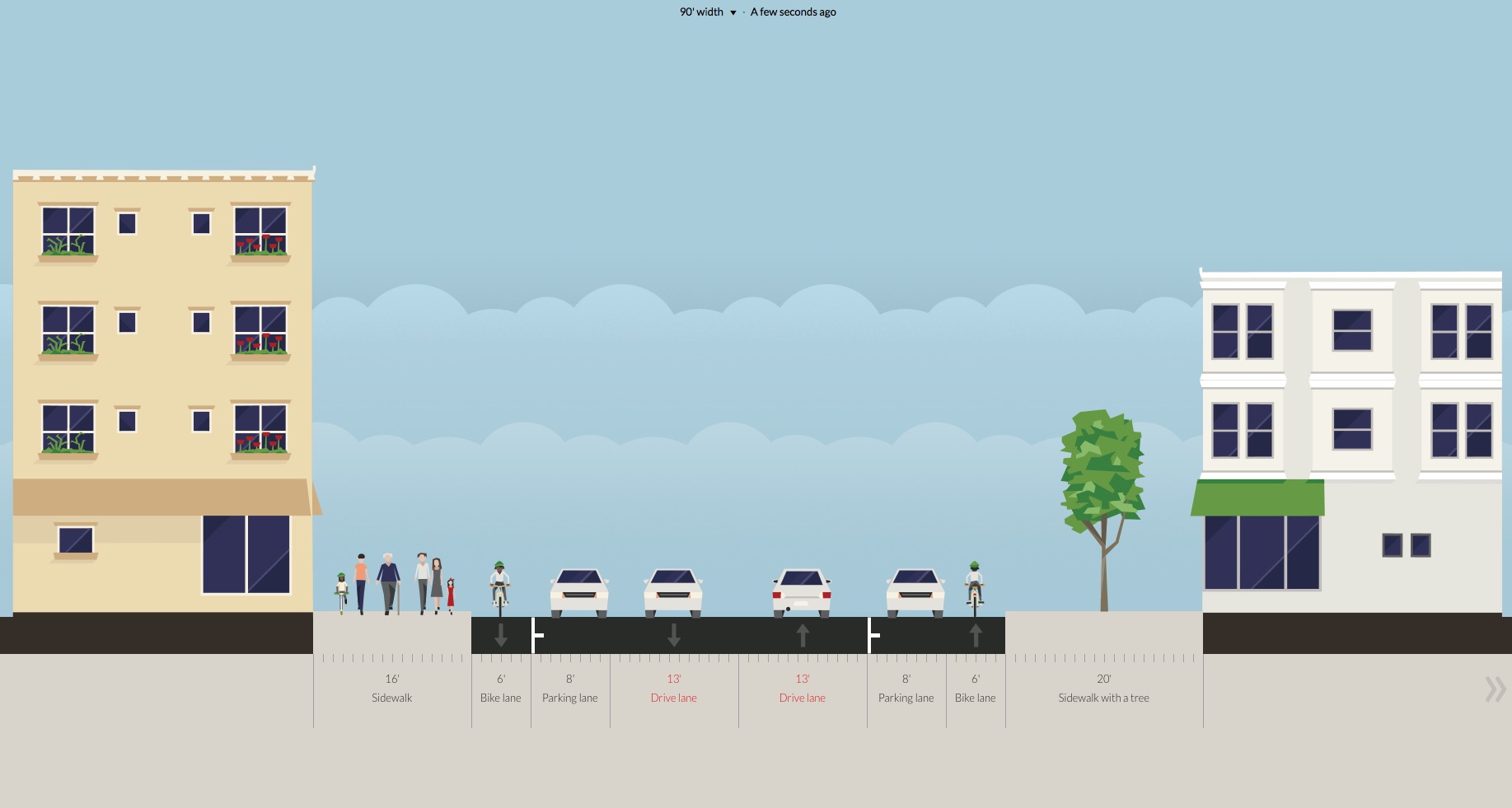
Tools to envision different street layouts
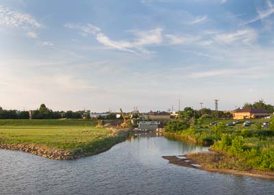
Floodgates, levees, and marshes
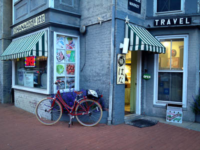
Hana Market, Adams Morgan
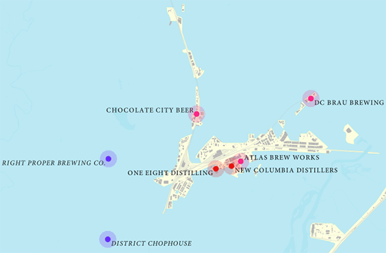
Mapping DC's distilleries and breweries
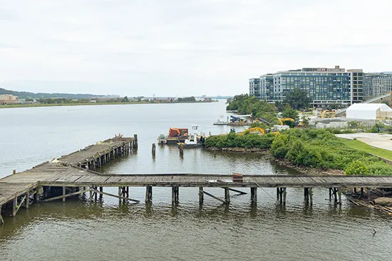
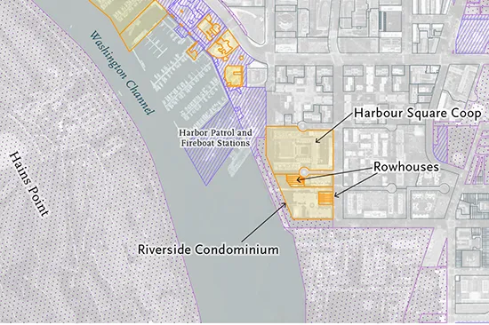
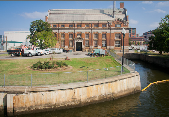
Pictures from the SE/SW waterfront area
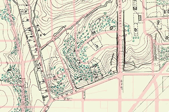
Uncovering long-lost historic hydrologic features.
Preview of the Hidden Rivers and Lost Neighborhoods bike tour.
Maps of DC's long-lost rivers.
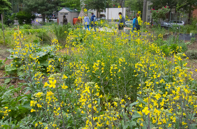
A tour of four gardens in NW DC – a fine way to spend a drizzly Saturday.