David Ramos
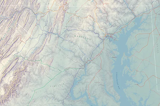
From Bay to Mountains
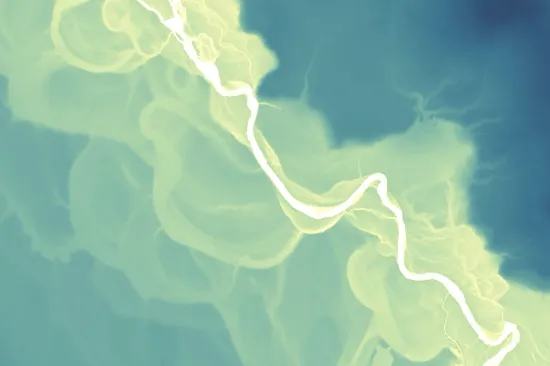
Meanders of the Little Patuxent River
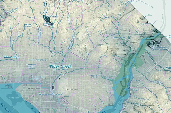
City of streams, city of pipes
D.C.’s private waterfront land —
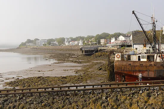
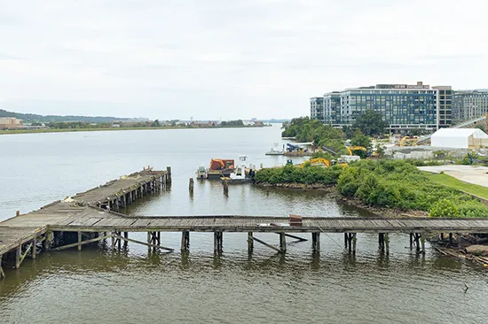
Buzzard Point and the Anacostia
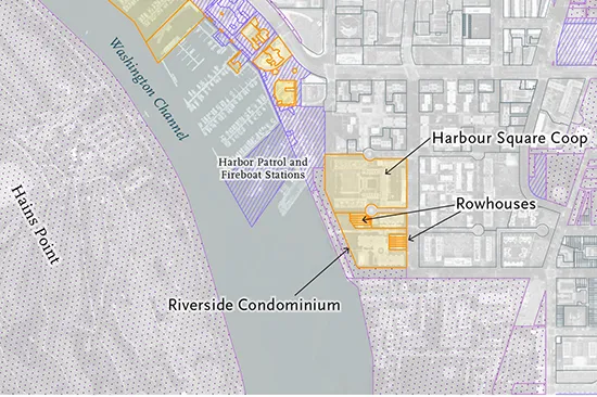
D.C.’s private waterfront land —
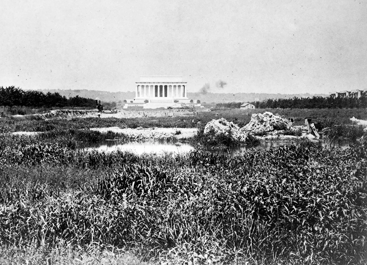
Along the Potomac
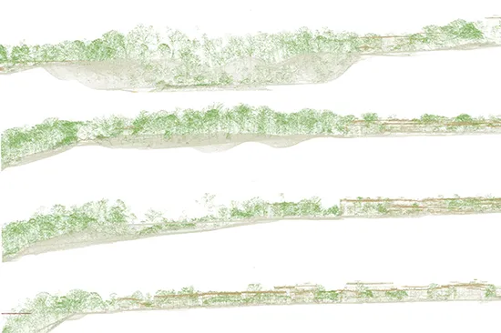
LIDAR point cloud studies
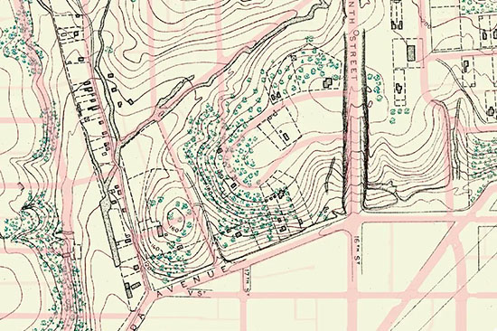
Slash Run: How a DC stream became a sewer, and then a secret
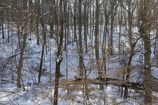
Putting a name to Blagden Run
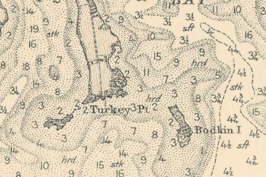
Visiting Bodkin Island before it slips under the waves
Elsewhere
Bluesky (preferred): @imagineterrain.bsky.social
Instagram (on occasion): @imagineterrain
Selected press, events, and awards
- Panel · “Waterscapes of Enslavement and Freedom: Towards a Hydrography of Race and Placemaking in the Antebellum District of Columbia” (DC History Conference, April 2025)
- Interview · I Hate Politics (June 5, 2024)
- Press · “The nation’s capital, built on water, struggles to keep from drowning”
(Washington Post, Dec. 19, 2023) - Press · “Shining ‘daylight’ on the Chesapeake Bay’s buried streams”
(Chesapeake Bay Journal, July 10, 2023) - National award · ACEC Engineering Excellence Awards – Honor Award for “Uncovering the History of the District’s Buried Streams.” On project team with Straughan Environmental. (2022)
- Press · “D.C.’s unique history provides a bit of extra security from sea level rise”
(NPR Weekend Edition, July 31, 2022) - Press · “These hurricane flood maps reveal the climate future for Miami, NYC and D.C.”
(NPR, July 28, 2022) - Press · “70% Of D.C.’s Streams Have Disappeared. Where Did They Go?”
(WAMU/DCist, Aug. 16, 2021)