D.C.’s private waterfront land —
Buzzard Point and the Anacostia
Written for Greater Greater Washington’s “Water Week” and published on that site in two parts, for the Potomac and for the Anacostia.
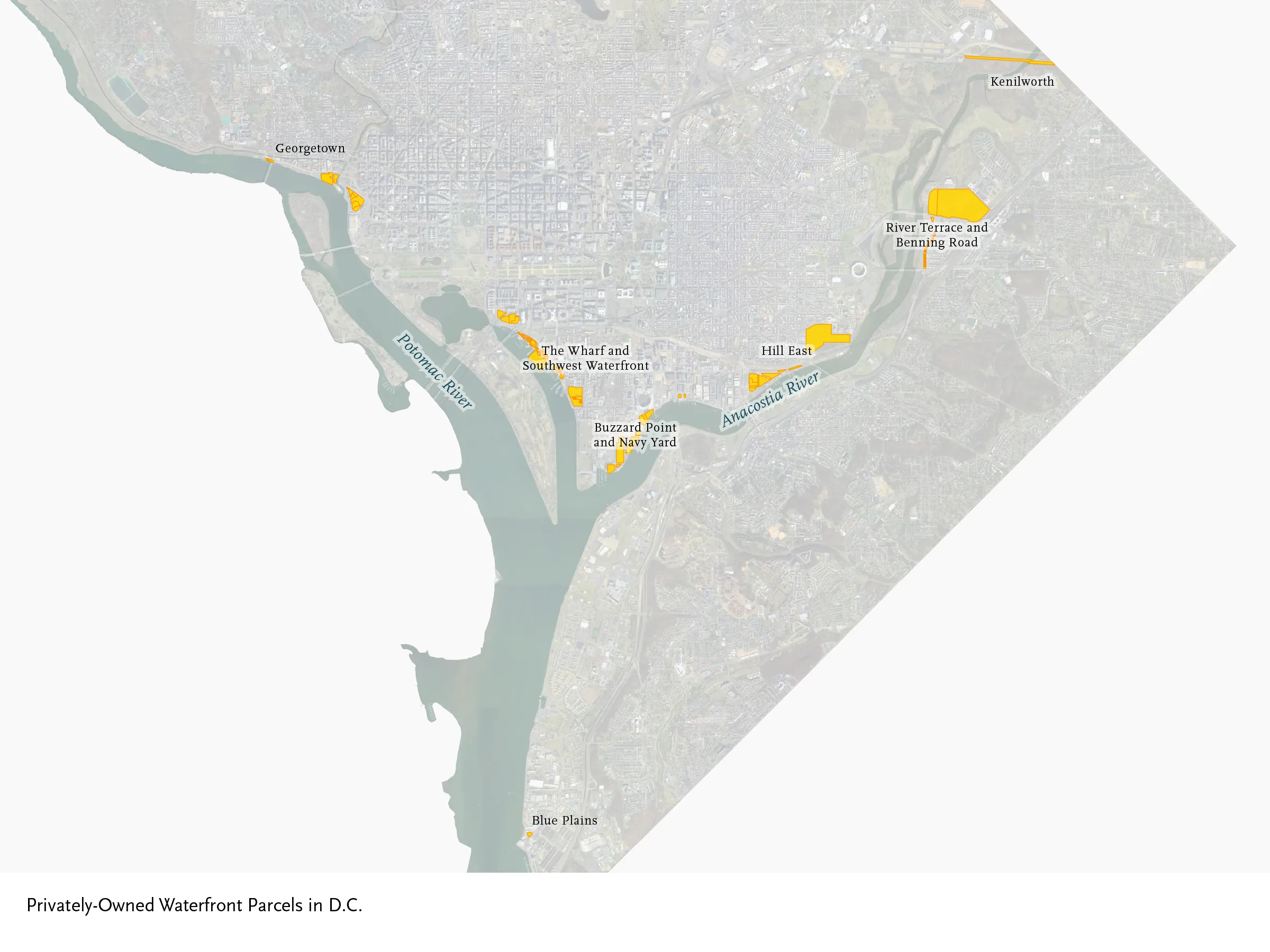
For GGWater Week, this mini-series maps all of the privately-held waterfront lots in DC, and offers photos of the most interesting ones.
The first post in this mini-series mapped the privately-owned waterfront lots along the Potomac River. In this post, we’ll explore those along the Anacostia River, and at one isolated site in Blue Plains.
As we established previously, nearly all of DC’s riverfront land is owned by either DC or federal government, with only about 180 of the lots listed in the District’s Common Ownership Lots dataset being privately-owned and on the water, for a broad definition of “waterfront property” that includes both the lots that touch the river and land that has a clear line of sight to the river across narrow parks.
New Development and Legacy Industry:
Buzzard Point and Navy Yard
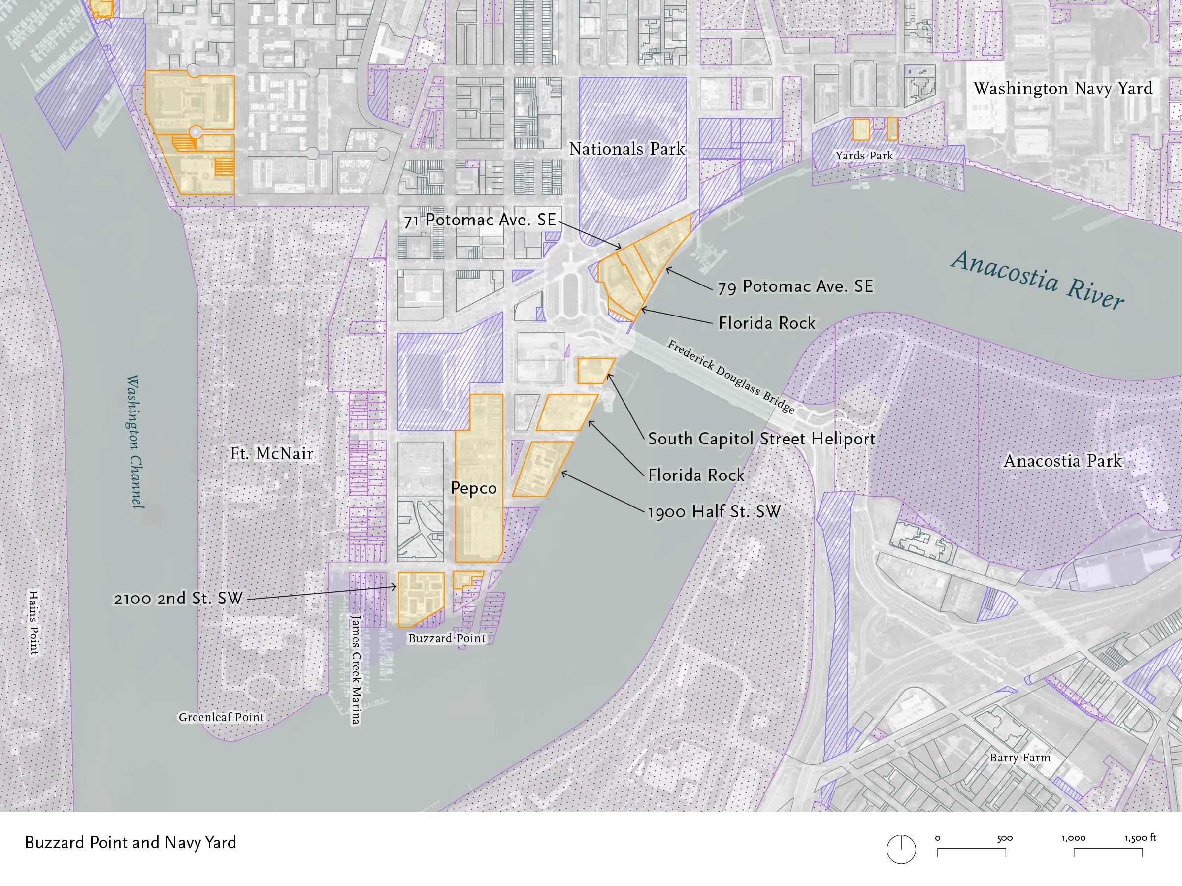

In the early 20th century, Buzzard Point was the site of sand and gravel yards, lumberyards, and other businesses that took delivery of bulk products by barge. Some of these industrial operations still survive today, though there are fewer each year, as mixed-use buildings rise in their place.
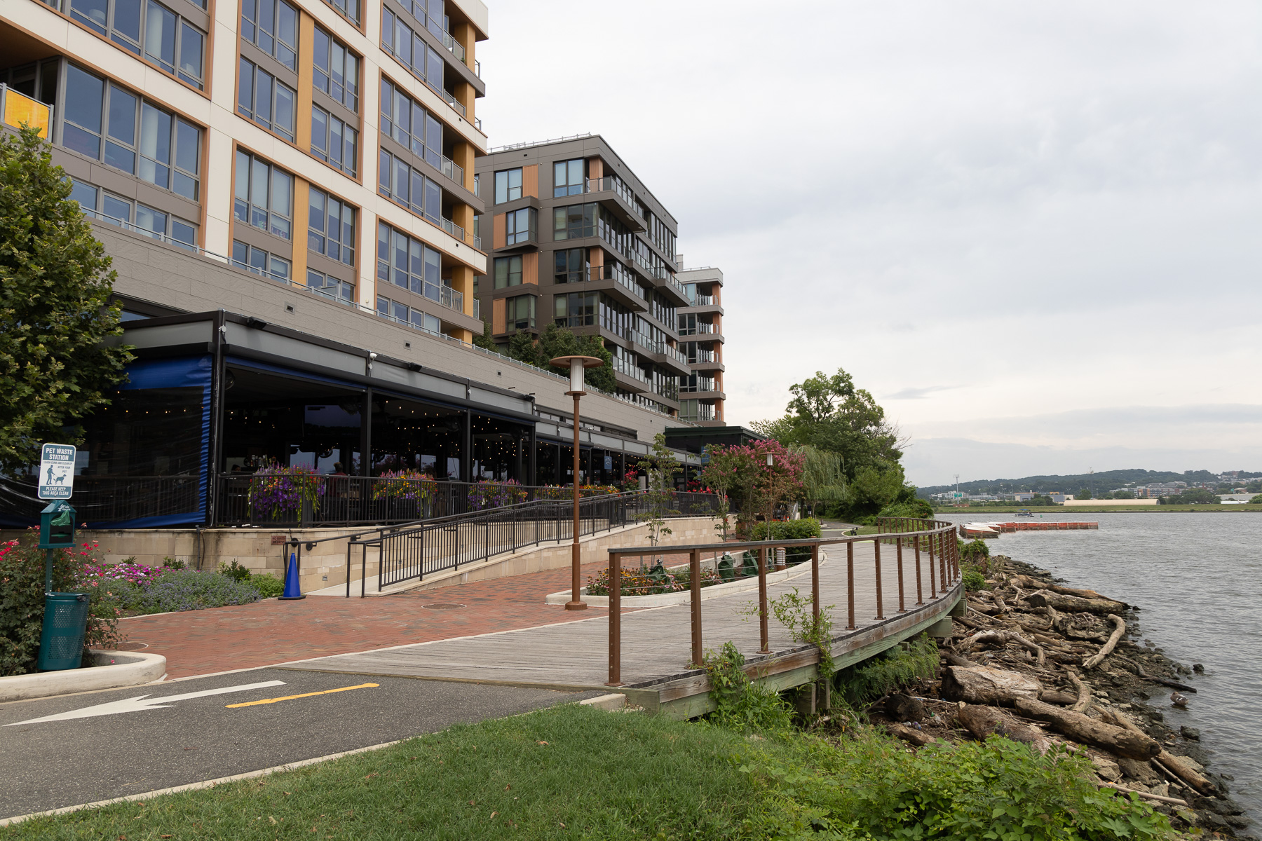
This is the very tip of Buzzard Point. This projecting piece of land, along with Greenleaf Point inside the grounds of Fort McNair, mark the junction of the Anacostia and Washington Channel. The building here once housed the headquarters of the U.S. Coast Guard, til that agency moved to St. Elizabeths in 2013.
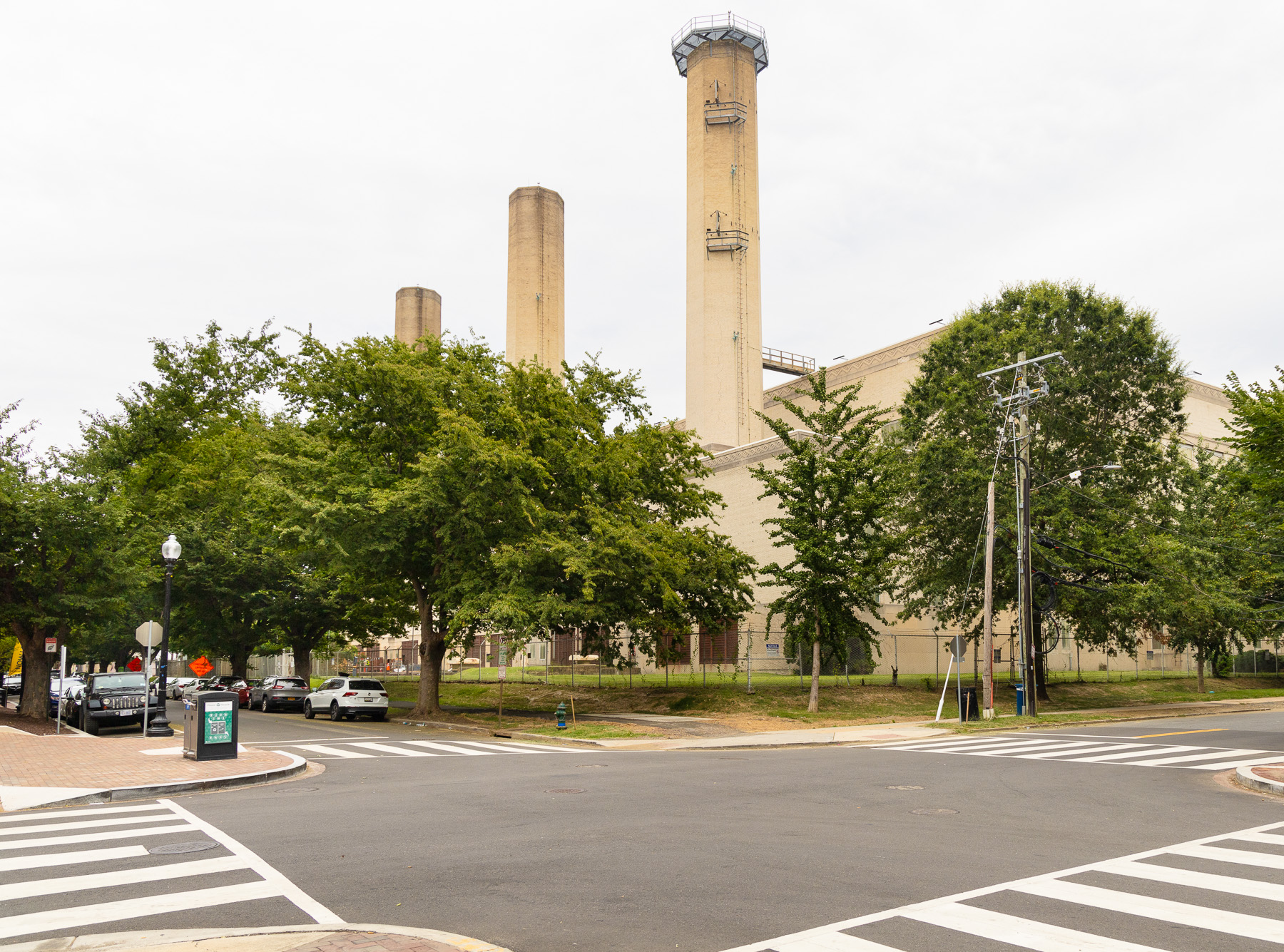
A Moderne Pepco generating station, built in 1932, dominates Buzzard Point. The plant is closed, although Pepco still uses part of the site as a substation. The utility is beginning cleanup of the site, under the terms of a consent decree.
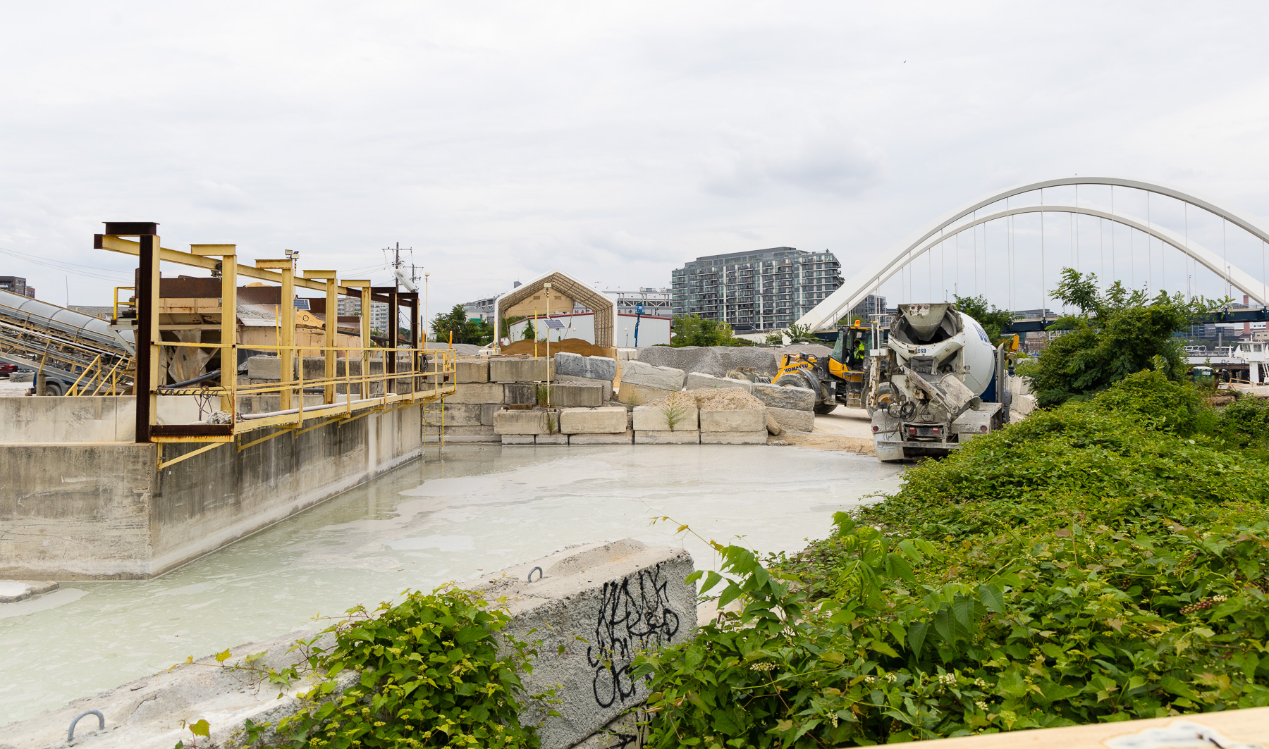
Vulcan Materials runs a concrete plant off of T Street SW. The site is owned by Florida Rock, and Steuart Investment Co. plans a mixed-use building there.
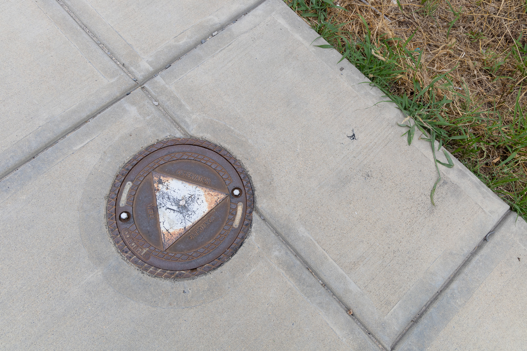
A monitoring well, used to track the contamination of groundwater. Even as new buildings rise, the area’s industrial past stays.
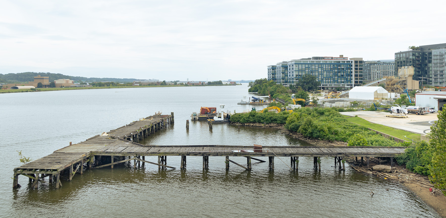
Congressional Heliport once served private helicopter companies, but flight restrictions after the Sept. 11 attacks ended that line of business. The DC Metropolitan Police aviation unit now flies from a pad here, although the land is now owned by Steuart Investment.
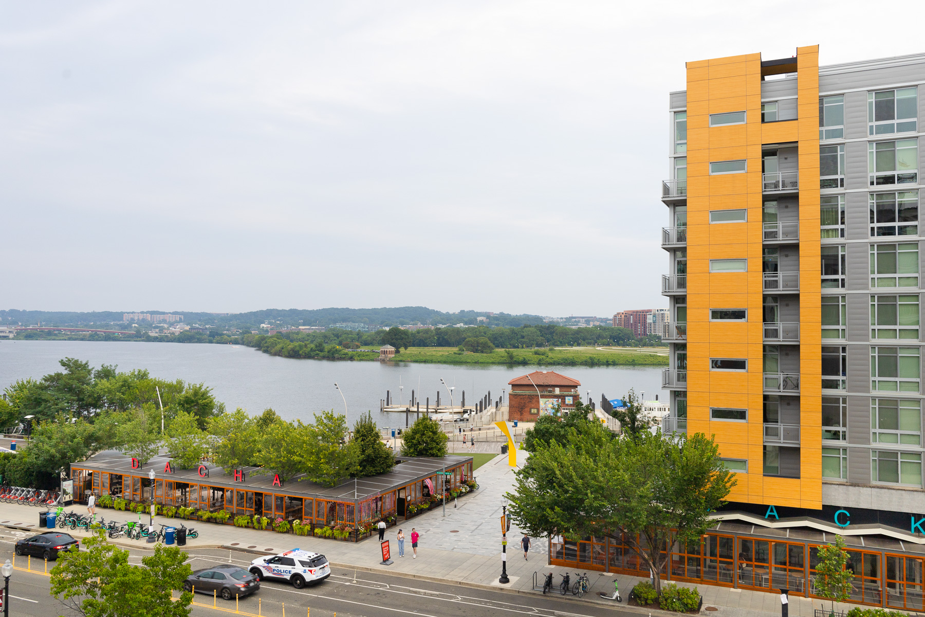
Closer to Nationals Park, industry gives way to mixed-use development, broken by the public property of Yards Park,the Main Sewage Pumping Station, and DC Water’s headquarters building.
Up the Anacostia: Hill East and the Area of the Sousa Bridge
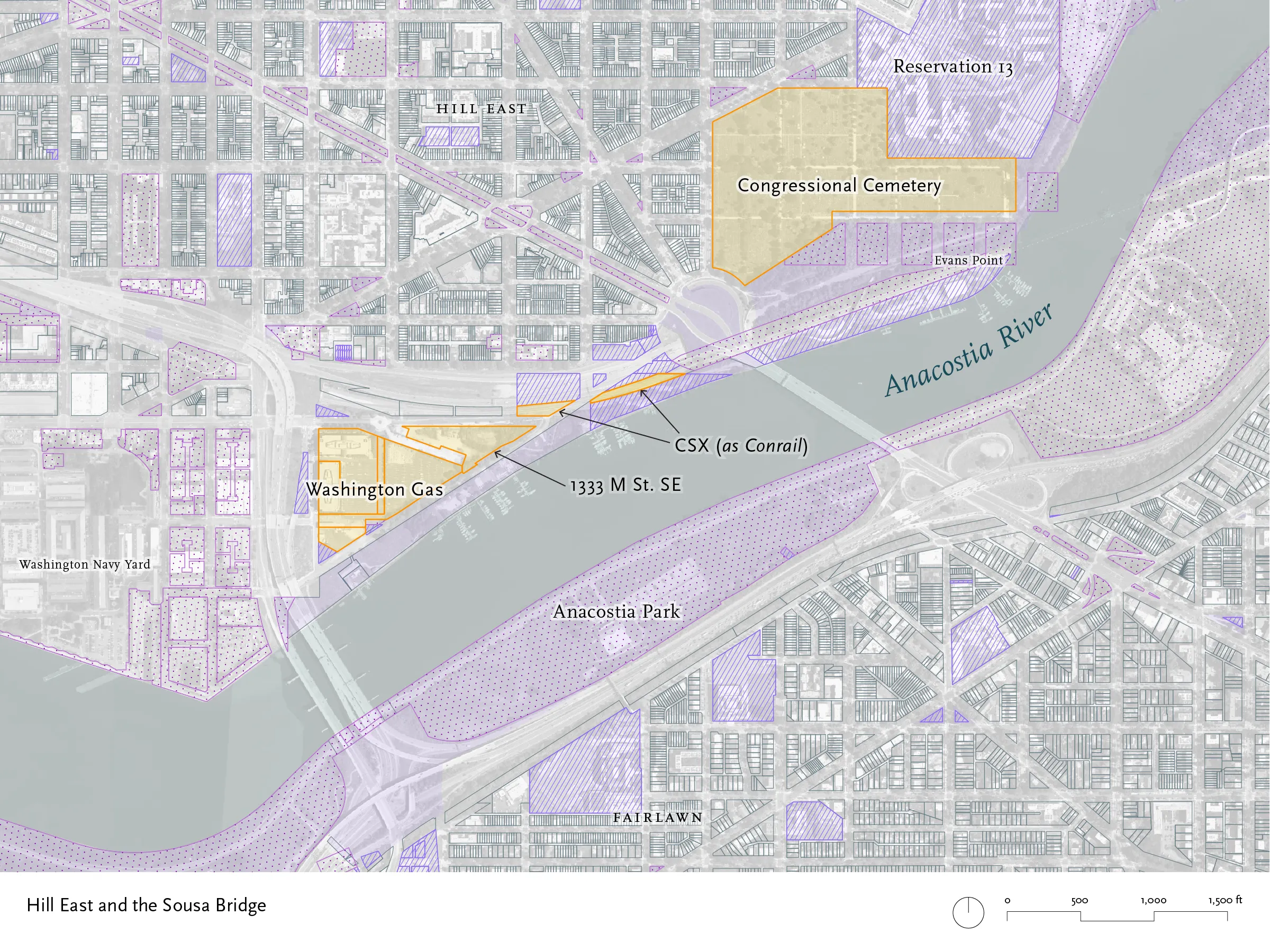
Moving up the Anacostia, the banks turn wilder, fringed with trees and vines. A row of boathouses sits on the right bank, including the Seafarers Yacht Club (the oldest Black boat club in the country), but all are on public land. There are also docks for U.S. Army Corps of Engineers debris boats and DC Water small-debris cleanup boats. The only privately-held lots are owned by Washington Gas, another site held by a developer, the rail line, and the large green expanse of Congressional Cemetery.
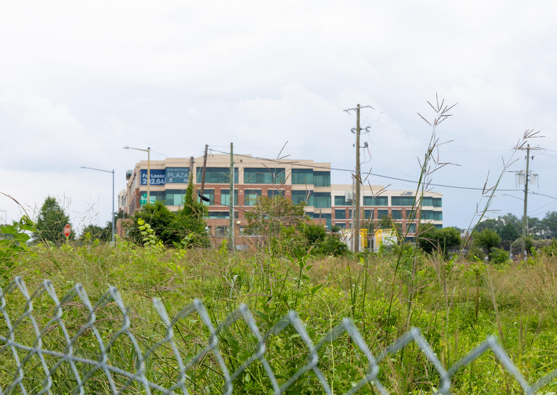
This site, at Water and 12th streets SE, was the location of the Washington Gas East Station, a manufactured gas plant that operated from 1888 well into the 20th century. Gasworks were notorious sources of pollution even in their day. This site underwent cleanup under the Superfund program, and the fenced-off area in the foreground, now government-owned, is still under remediation. Washington Gas still operates a service yard and owns commercial office space.
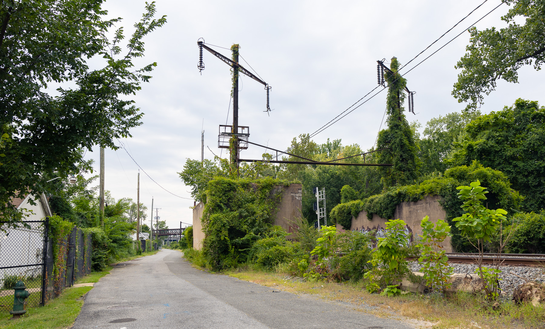
Two lots here are owned by CSX, though property records still show Conrail. They carry the freight rail line that runs between Alexandria to Hyattsville. (The site pictured is federal land; the CSX-owned land is farther along the line.)
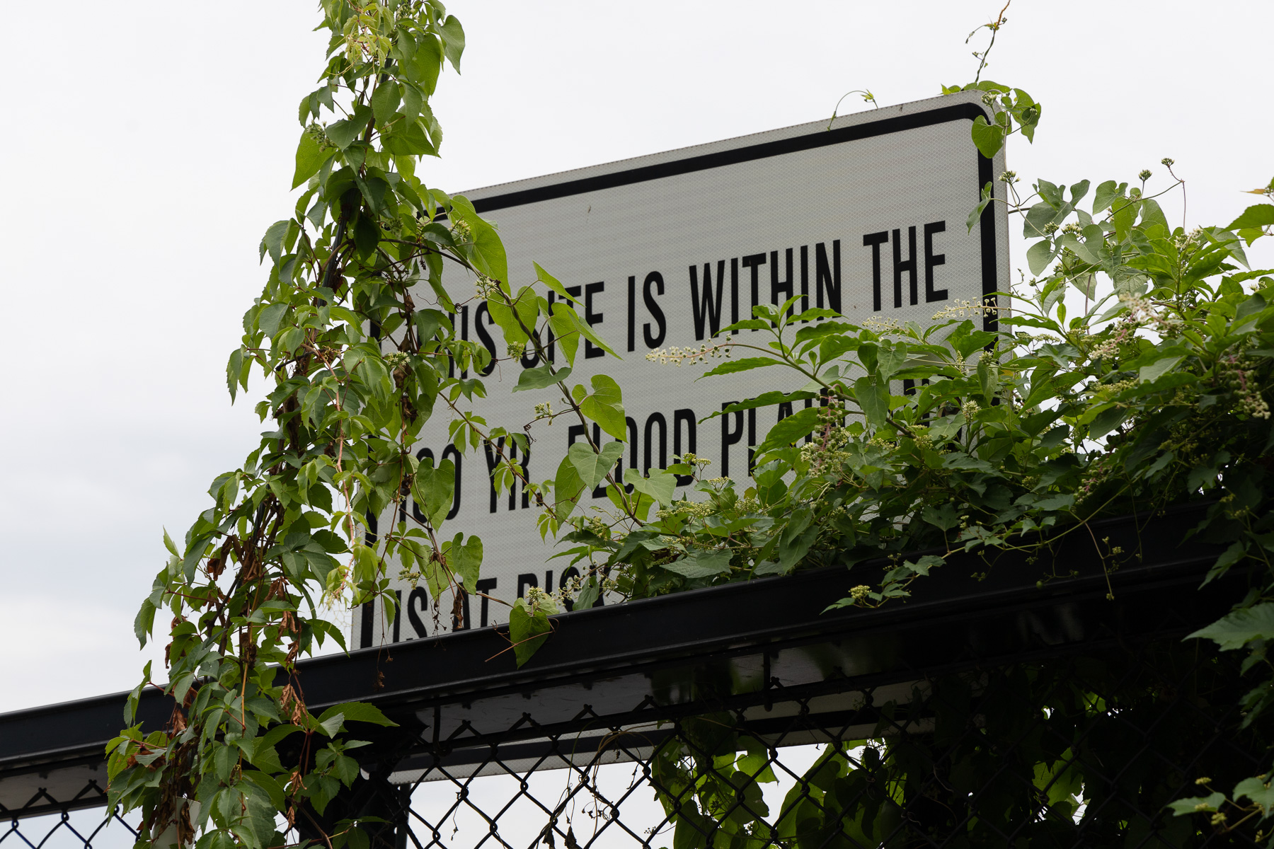
Some waterfront sites work to hide the flood risk, or they hide the protection measures that they take. Some sites make that problem more obvious. This sign reads “This site is within the 100 year flood plain. It is at risk…” It is on the fence of the Anacostia Community Boathouse (which sits on District-owned land), across from the CSX line.
Across from Kingman Island: River Terrace and Benning Road
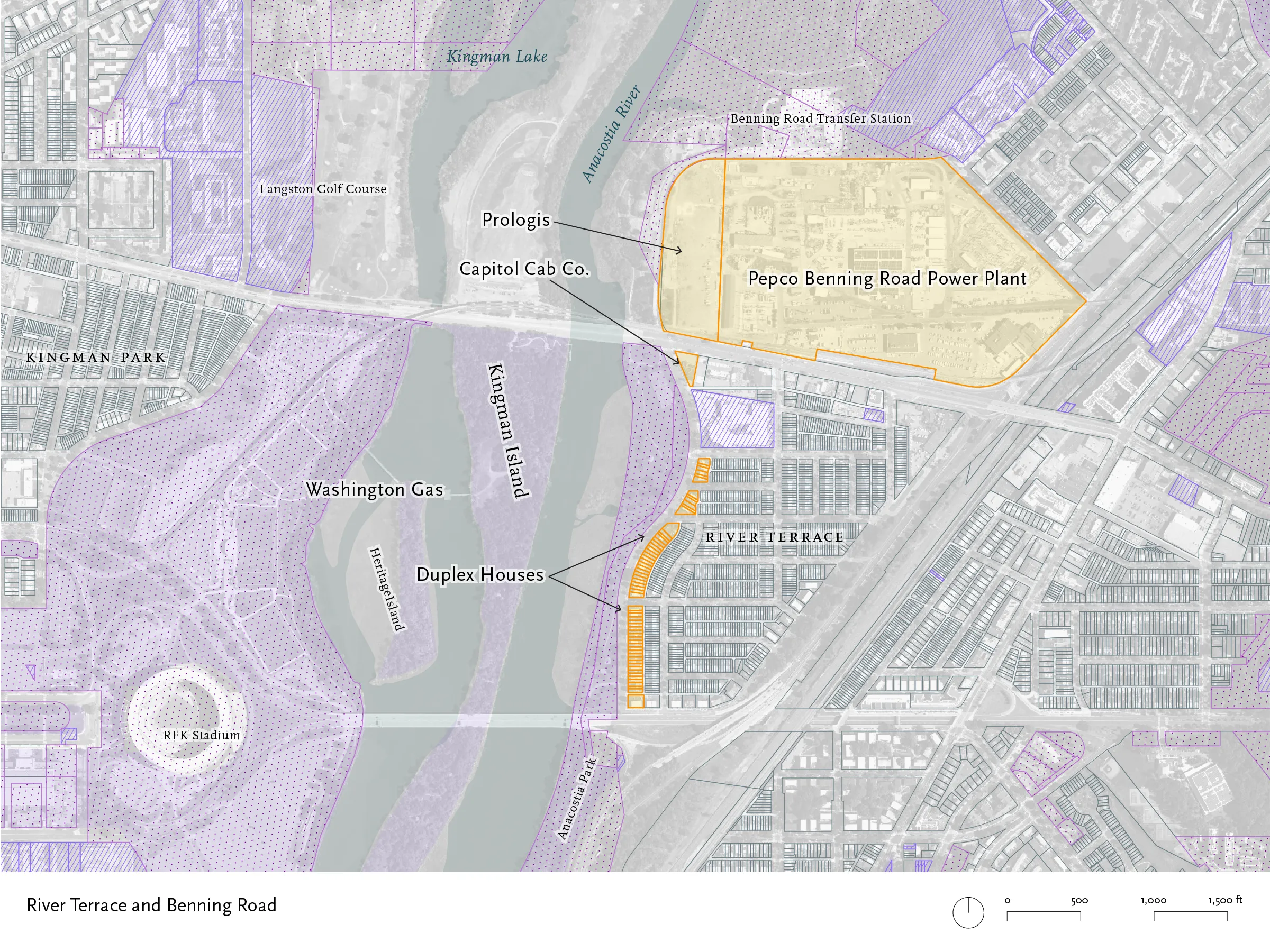
The Anacostia is marshier, in the area of Kingman Island. This area sees the only substantial stretch of single-family homes along any of DC’s waterfront, along with a former power plant that will soon be the site of a distribution center, and one corner lot that houses the headquarters of Capitol Cab Co.
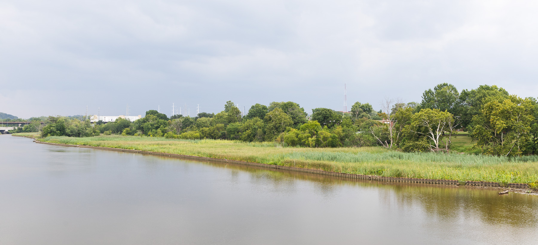
Looking north from Benning Road Bridge. The foreground is an area of restored marshland, around the mouth of Piney Run. Just beyond are the trees of Anacostia Park and the multi-use path, with the rowhouses of Anacostia Ave. beyond.
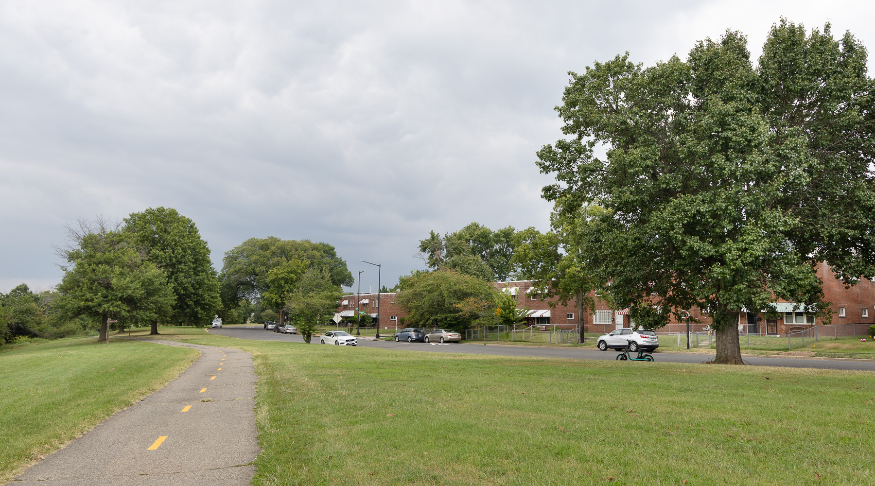
Anacostia Park fronts on the river here, but most of the park is 100–200 feet wide. Just across Anacostia Ave. is a line of 61 lots, with duplex houses built in the late 1940s and early 1950s.
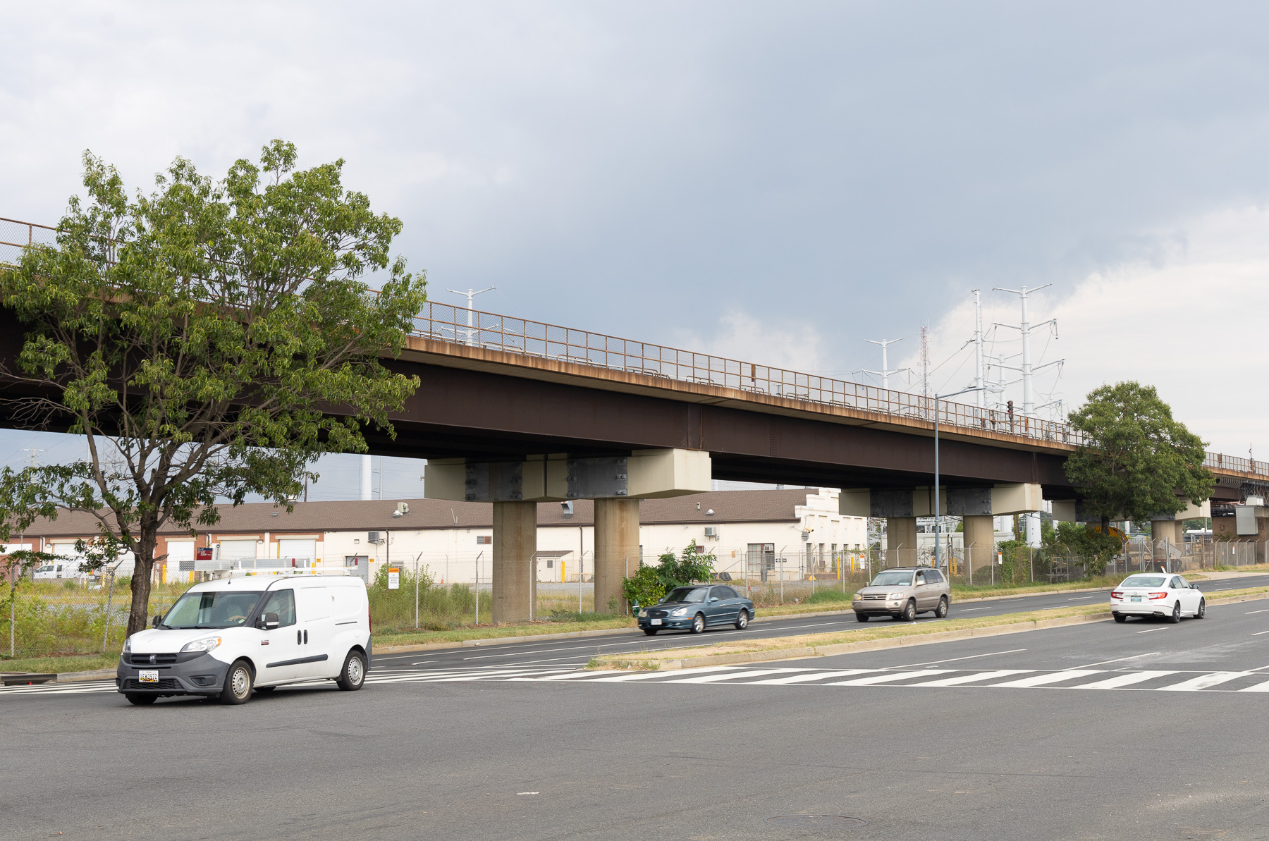
A Pepco power plant, now demolished, filled the land just north of Benning Road. In 2023, the utility sold the part of the site, closest to the river, to Prologis, a supply chain and logistics company that plans to build a warehouse there.
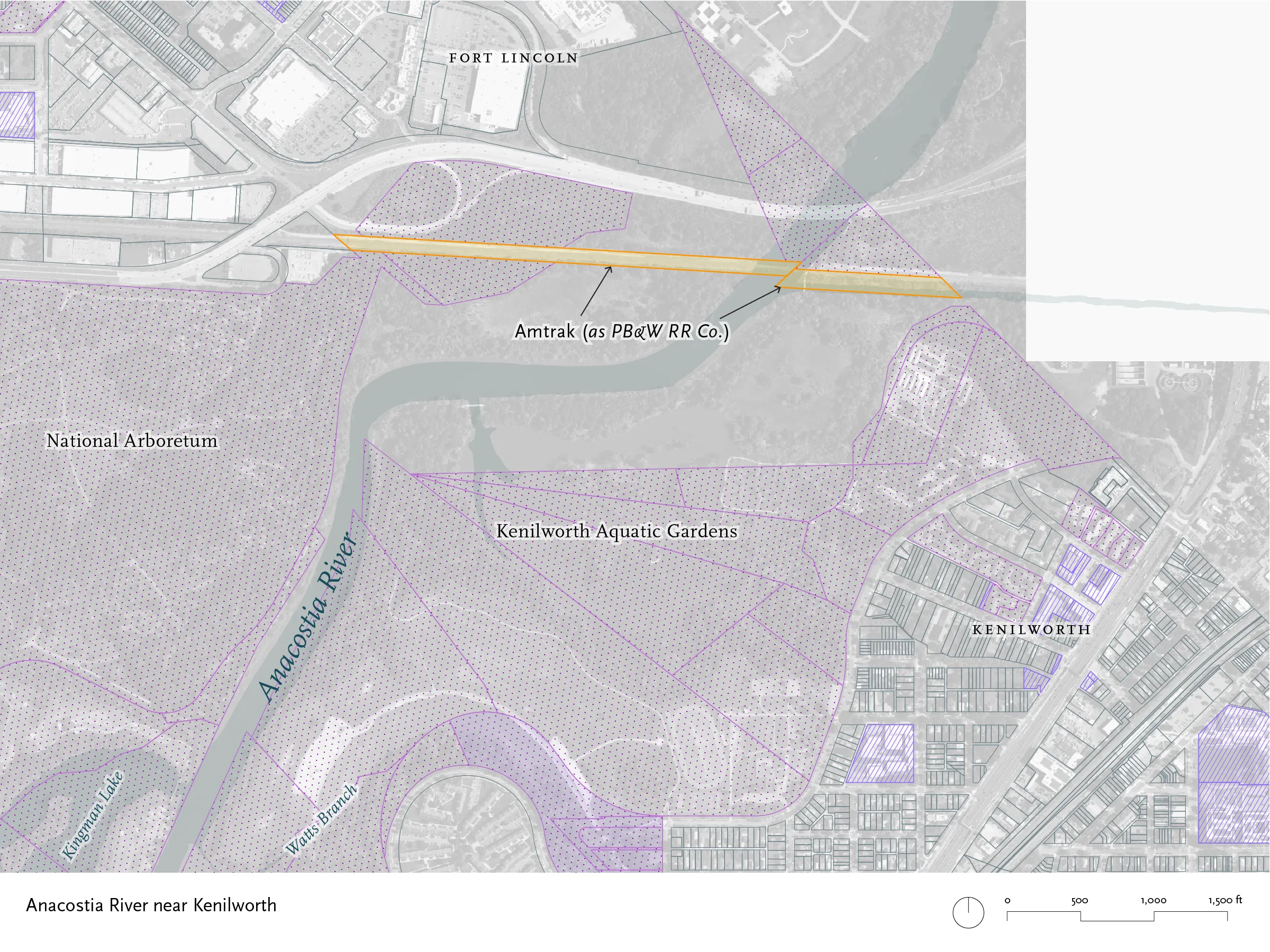
The Northeast Corridor: The Anacostia River near Kenilworth
Blue Plains
At the very edge of the District, there are two properties owned by Amtrak. They carry the Northeast Corridor across the river. Land records show the owner as the Potomac, Baltimore & Washington Railroad Company, a subsidiary of the Pennsylvania Railroad, established in 1902.
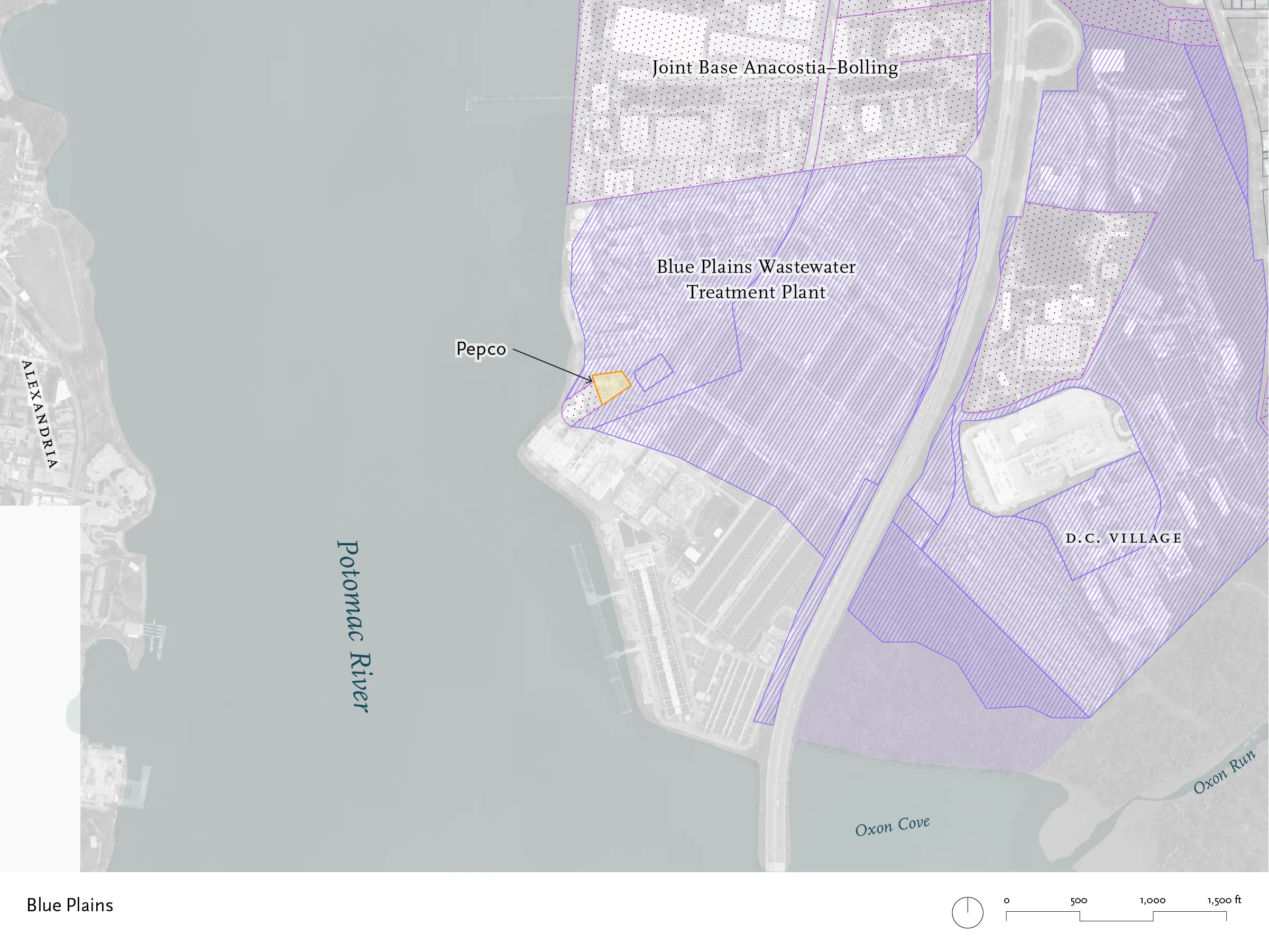
There is one last privately-owned lot, tucked away in a sea of DC government property down at the Blue Plains Wastewater Treatment Plant. It houses a Pepco substation.
Flood Risk
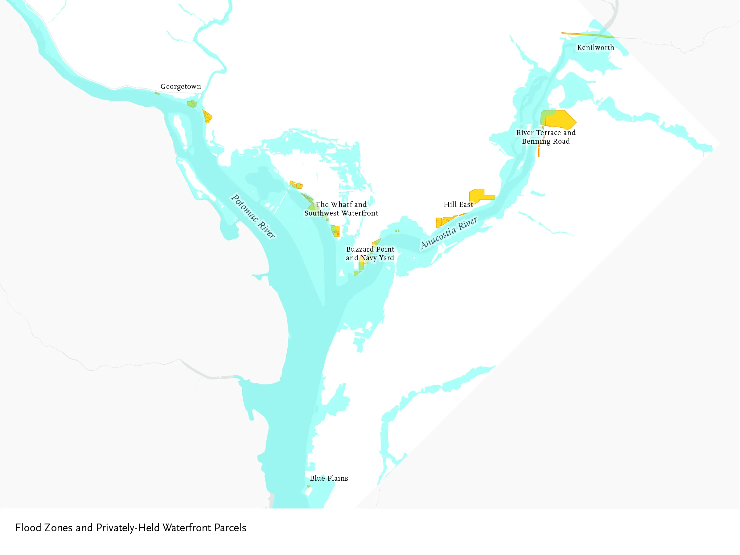
Most of these waterfront lots are within the 100-year floodplain, as mapped for FEMA, or within the area that the District identifies as at risk of storm surge flooding.