A reversal of priorities
GDES-270 spring 2020 (David Ramos, American University Design)
ramos@american.edu · office hours
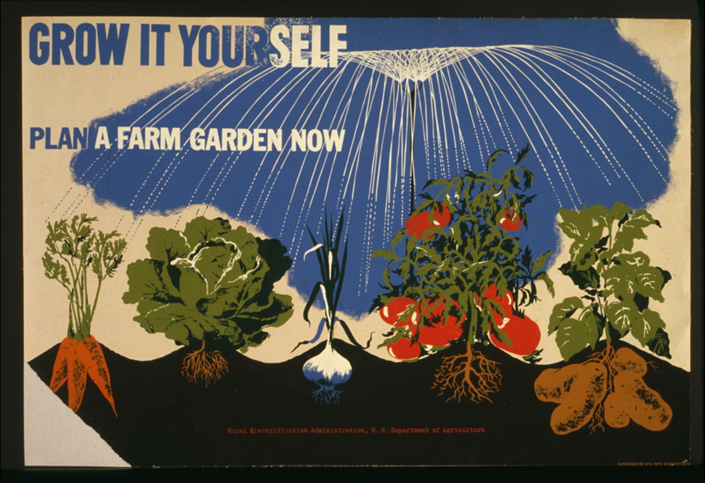
Poster by Herbert Bayer for NYC WPA War Services, between 1941 and 1943.
When I planned out this semester, we were going to use this last project to look at designing with the climate crisis in mind—at making a more just, sustainable world—but the more immediate Covid–19 pandemic swept in. Instead, I’ll ask you to work through a two-part project, creating a map and a postcard. We’ll use design to observe the world right now, and for another, lighter purpose: to create objects that provide joy.
The title, “A reversal of priorities,” comes from First Things First 2000, which argues that design has a role in meeting “environmental, social, and cultural crises.” That’s no less true now; see Lucienne Roberts, What Role Does Design Play in a Public Health Crisis?.)
Part 1: Mapping your space
We started the semester with a mapping project, intended to build your observational skills and to introduce iteration as an essential tool. I was weighing revisiting that assignment for our new circumstances when CityLab published a call for maps, Readers: Share Your Hand-Made Maps of Life Under Quarantine.
Draw a map in response to CityLab’s prompt.
We’re inviting readers to draw a map of your life, community, or broader world as you experience it under coronavirus. Your map can be as straightforward or subjective as you wish. You might show key destinations, beloved neighbors, a new daily routine, the people or restaurants you miss, the future city you hope to see, or anything else that’s become important to you right now. It might even be a map of your indoor life. For an added challenge, try drawing from memory.
This assignment is deliberately worded in an open fashion. There are many good ways to approach the task. Try making a draft map and posting it to Slack for comments. Don’t overthink this, though—there’s still part 2.
Map specifications
Choose your own dimensions, medium, and working methods. (CityLab calls for a hand-drawn map, but for our project, you’re welcome to work on the computer.) Submit a final PDF or JPG image of your map to Blackboard.
Let your map inform the following task
Reflect on the map. See if it leads you toward any ideas for the next part. (I’m not saying that you should draw objects from your life right now—only that the map offers insights that might inform your postcard.)
Part 2: Postcard
Postcards are an old but still wonderful way of connecting people. A postcard says “I wish you were here!”—and it lets you share a moment and an experience with someone who isn’t there. It’s visual and tangible, and contains a story, in a way that video calls do not.
Thanks to Rachel Taylor for suggesting cards.
Design a postcard that you could send to someone who deserves a postcard. Think of it as a gift of goodwill for troubled times, something bright. I’d encourage you to make a physical postcard and send it, or to send a digital image of a postcard, but that’s your choice. (If you’d like, I can get addresses for friends of friends who’re feeling particularly isolated during this crisis.)
Most postcards are photos of outdoor scenes, but you can do much more You could draw an object, or illustrate a narrative scene, or hand-letter text. Think of the postcard as a miniature poster. As with the map, experiment, make sketches, and post your ideas to Slack; there are many good answers (and many terrible ones, but we won’t know until you try).
Postcard specifications
Choose your own dimensions, medium, and working methods. If you want to mail a paper postcard in the U.S., I’d suggest a 5×7 in. (horizontal) trim size.
You can send a physical postcard, or send an image of the card by email or social media. Either way, submit a final PDF or JPG image of your postcard on Blackboard.
A record for the future
We’re living in a pivotal moment. Students in the future will need personal accounts like the materials you’re creating here. I’d like to make sure that your work is preserved and available, if you’re willing. I encourage you to submit your map to CityLab or the Historical Society of Washington. I’ll also ask permission to include the map and your postcard in a tranche of documents compiled by the Humanities Truck program.