Hillshading/color study II, Mt. Greylock
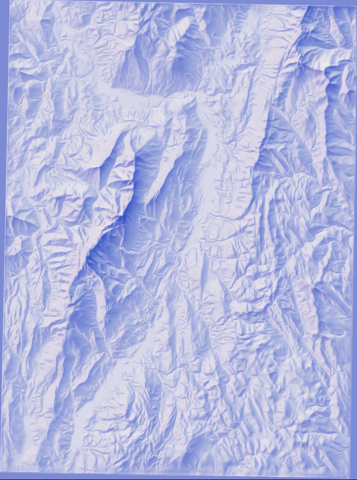
A second study of hillshading technique and color, depicting the area around Mt. Greylock in Western Massachusetts. There are two sets of shadows overlayed here: the dominant one from the northwest, in purple-blue; and a secondary layer, purple-pink shadows from the northeast, to bring out detail on southwest-facing slopes.
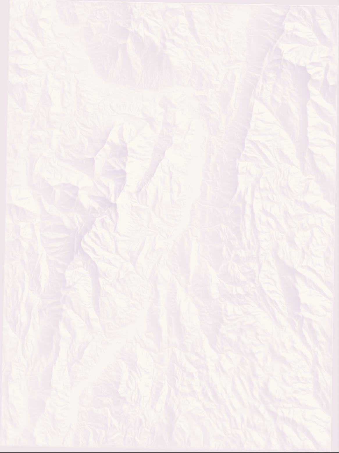
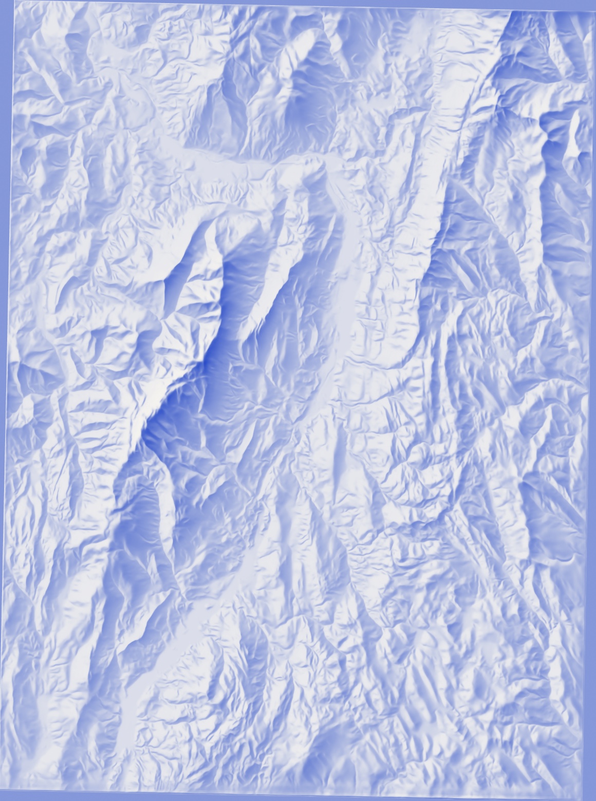
This map is built from a pair of hillshade files generated using Eduard and composited in Photoshop. Source data: NASA NASADEM 30m DEM.