Lost Streams of D.C.: Slash Run Walking Tours (Dec. 2024)
D.C. was once laced with streams and marshes. Today, those watercourses are almost all gone, but traces remain on paper and in the landscape. On these walking tours, we’ll trace the route of long-vanished Slash Run as it flowed from Adams Morgan, down past Dupont Circle, and into Rock Creek near the P Street Bridge.

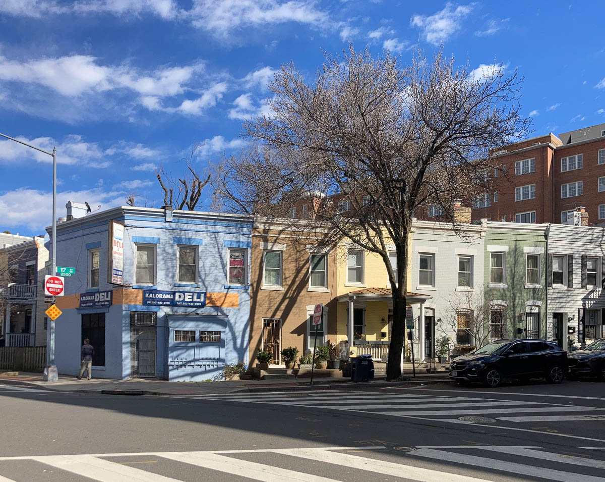
Rowhouses at 17th St. and Kalorama Rd. NW, on the side of the stream valley. Slash Run is gone, but the topography that it carved out still survives.
When
There are two tours this December. Sign up for (free!) tickets at Eventbrite:
- Sunday, December 8, 2024, 11 a.m. til about 1 p.m. (tickets)
- Sunday, December 15, 2024, 11 a.m. til about 1 p.m. (tickets)
Where
- Location: Start at Unity Park, bounded by Columbia Rd., Champlain St., and Euclid St. northwest, in Adams Morgan.
- Getting there: The tour starts about a 10-minute walk from the Woodley Park–Zoo Metro Station. There is a bikeshare station across the street.
- Route: The tour covers roughly two miles, all on paved sidewalks, and ends near 23rd and P NW, in Dupont Circle.

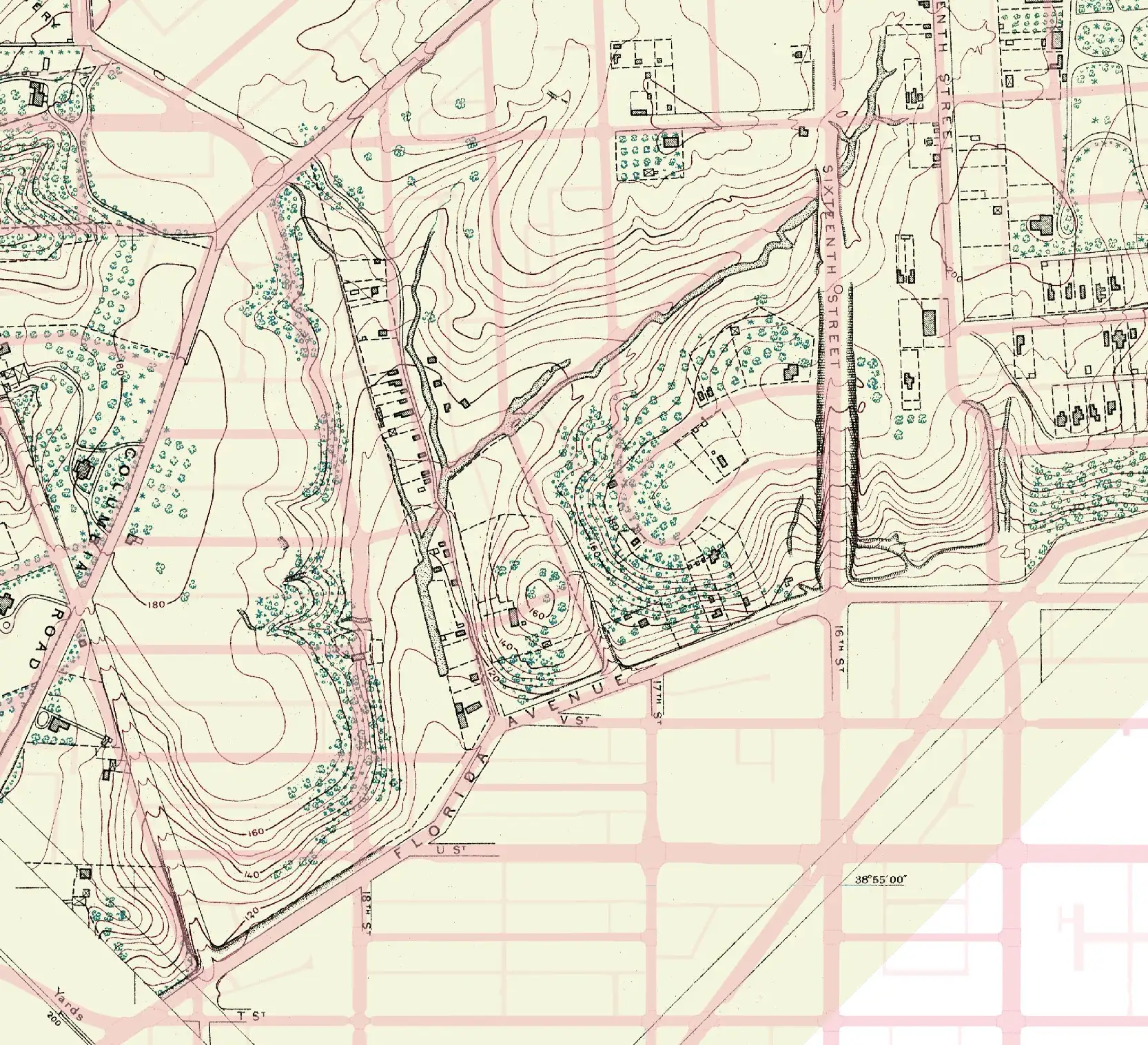
Adams Morgan, as seen on a US Coast and Geodetic Survey map from 1892, with modern-day streets overlaid in red. Slash Run flows down the paths of Champlain Street and Kalorama Road. (Original map via Library of Congress.)
Learn more
You can read more about Slash Run in an article that I wrote for Greater Greater Washington, see a map of all of the city’s lost streams, browse an interactive map with historical images, and hear about the project over on WAMU.
This tour is part of a series of bike and walking tours that explore the District’s hydrographic past.