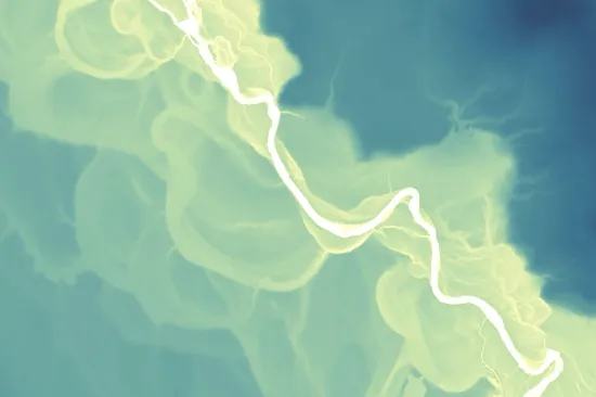
A relative elevation model
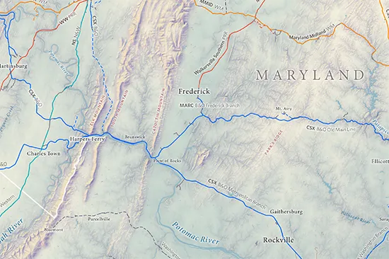
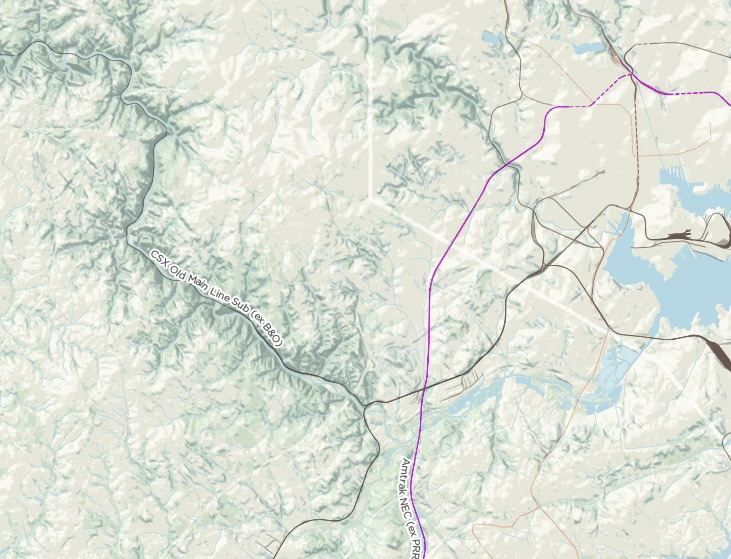
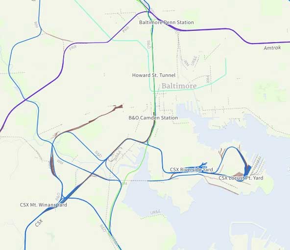
Railroads around Baltimore, DC, and the Potomac
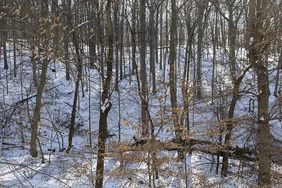
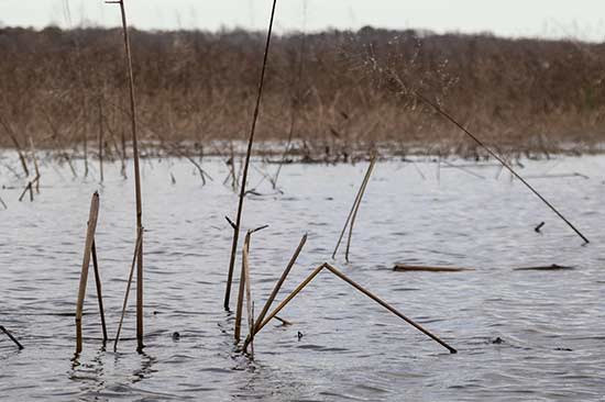
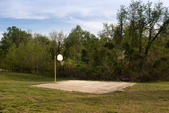
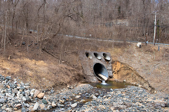
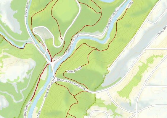
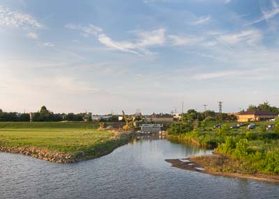
A little D.C. stream
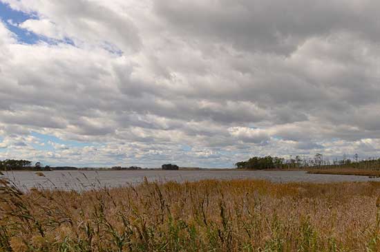
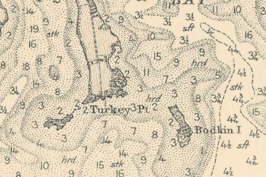
Eastern Bay/Eastern Shore of Maryland
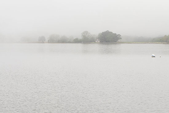
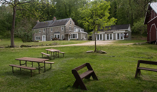
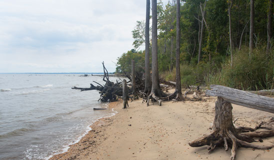
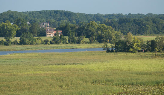
On the Patuxent River
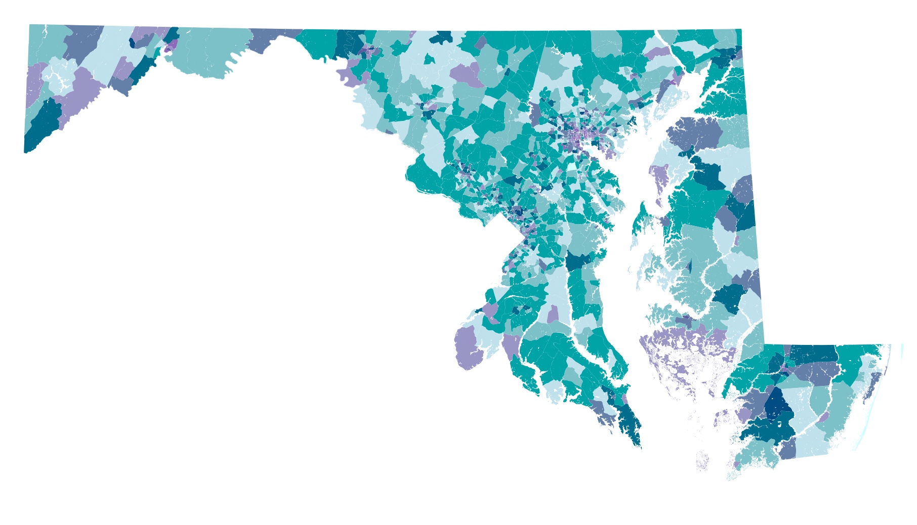
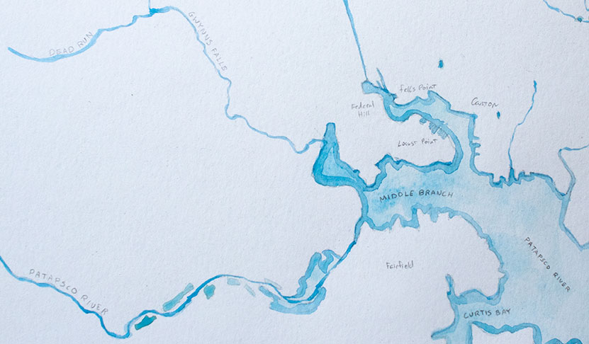
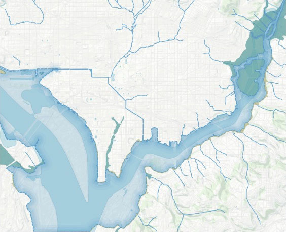
A map of Baltimore's rivers and creeks
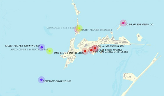
Updated map of DC's distilleries and breweries
Uncovering long-lost historic hydrologic features.
Floodgates, levees, and marshes
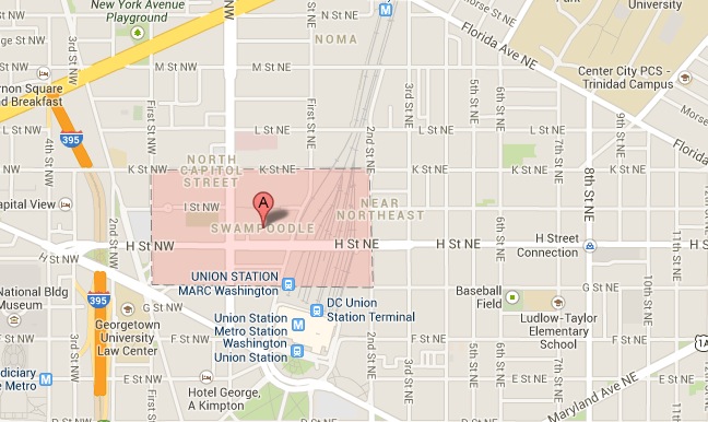
Chalk one up for historic neighborhood names